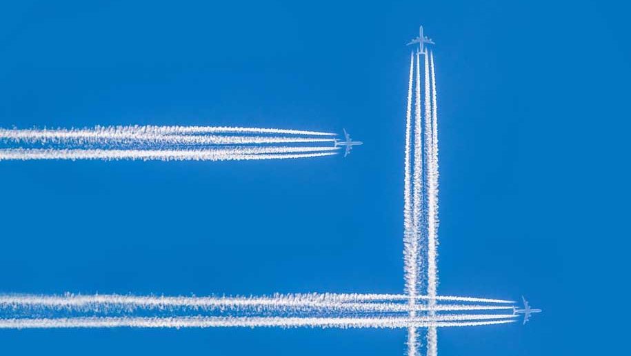
Next time you are relaxing on a transatlantic flight, spare a thought for the complex planning that pilots put into every crossing.
How many times have you flown across the Atlantic, or any other vast expanse of water, without giving a thought to the challenges involved in such an operation? Every time, I hope – air travel is very safe and there is no need to worry. For those who muse about these things, however, I’ve found that the two most common questions I get asked are: “What happens if something goes wrong during the flight?” and: “How do you navigate?”
First, a point about the distances involved in long-haul flying. If you fly from London to New York then the journey over the Atlantic is approximately 3,050 km. London to Rio de Janeiro is more than double that, at 6,740 km. These distances are truly staggering. Think of the pioneers of aviation – for example, Sir John William Alcock and Arthur Brown, who were the first to fly nonstop from Canada to Ireland, in 1919. They accomplished this in a British Vickers Vimy, taking 16 hours – a remarkable achievement back then. Nowadays, a typical jet aircraft takes about four hours.
On long-haul flights, the first issue pilots have to consider when planning the journey is where to head if something goes wrong. Take engine failure – if one were to fail on a four-engined aircraft it would not be a big deal, but on a two-engined plane you would lose 50 per cent of your available power. In such cases the aircraft would be unable to maintain its cruising altitude and would need to descend to a much lower level.
The problem here is that the lower the altitude, the denser the air – consequently, more fuel will be burnt. Similarly, if the aircraft were to depressurise then a descent to 10,000 feet would be required for sufficient oxygen to breathe, as the onboard supply is limited.
Scenarios such as these, as well as medical emergencies, will result in a diversion to a suitable airport. It is therefore required by the authorities that when flying over water a two-engined aircraft must be within a specified flying time of one. For a B777 this is three hours, while for the B787 it is five and a half hours. This can be a challenge for pilots, particularly in winter, when more northerly airports can be affected by high winds and snow.
Where you go depends on your route – to the north it could be Greenland or Iceland, while further south it could be the Azores, Bermuda, Cape Verde or the Canary Islands. Equally, it may be more prudent to turn back or continue to a suitable airport closer to your destination. The objective is always to land the aircraft safely as soon as possible.
MISSION CONTROL
What about navigation and air traffic control (ATC)? Nowadays, navigation is predominantly done by GPS, which is highly accurate. When I started flying in the 1990s it was by gyroscopes; not that many years before that it was done by reading the stars, as the land-based radio beacons used for navigation were out of range over large stretches of water.
Your route over the Atlantic is decided each day by ATC and depends on winds and weather. Routings going east will be constructed to take advantage of tailwinds from strong jet streams (upper-level winds of typically 241-322 km/h generally blowing from the west) to reduce the flight time, or conversely when going west to avoid headwinds. Areas of extreme thunderstorms may also need to be avoided.
With ATC there is no radar coverage as such, so we will need to tell the controller where we are at specified intervals. The VHF radio that we normally use to talk to air traffic control will be out of range so we use HF radio, which has less clear reception. In more recent years, pilots have been able to communicate by computer via satellite using text messages, which can also automatically send our position.
So the next time you are enjoying your G&T over the Atlantic, spare a thought for the planning and complexities involved in the journey. Rest assured, however, that in 25-plus years of making the crossing, I never diverted once. Cheers!
Words by our anonymous pilot


