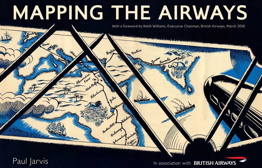
A new book by British Airways focuses on the importance of mapping over the last hundred years.
Drawing on maps and images held in the archives in the British Airways Heritage Centre, it shows how they were used by early navigators and pioneering travellers.
Paul Jarvis, author, and curator of British Airways’ Heritage Centre, said: “It’s clear that maps have long held a fascination for travellers and airlines have used maps in different artistic styles over the decades to entice the public to take to the skies.
“What’s fascinating is just how maps have developed over the years and how they have become an enduring power to spark our imagination and chart our voyages through the skies.”
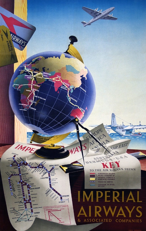
The book features images, maps and advertising artworks charting the growth of aviation around the world.
The story begins with Imperial Airways’ route network which stretched from Africa, the Middle East, India, Hong Kong and Australia.
Flights that now take hours took days and sometimes several weeks, illustrated using maps and charts used by British Airways’ predecessor the British Overseas Airways Corporation’s (BOAC) famous flying boat service, based near Southampton.
It then charts the rise of modern aviation with the emergence of British European Airways, BOAC which started the world’s first scheduled jet service and their merger in the 1970s to form British Airways.
The book also looks at the modern moving map featured on today’s aircraft, still one of the most popular of all in-flight entertainment programmes for travellers.
‘Mapping the Airways’ £17.99, Amberley Publishing


